Meet the Brilliant Pakistani Students Bringing Space Data to the Masses — and Winning Big
What began as a final-year project has now placed Pakistani students on the global tech map. Meet the minds behind GeoGemma — an AI-powered innovation that’s transforming satellite imagery analysis into a task as simple as typing a prompt.
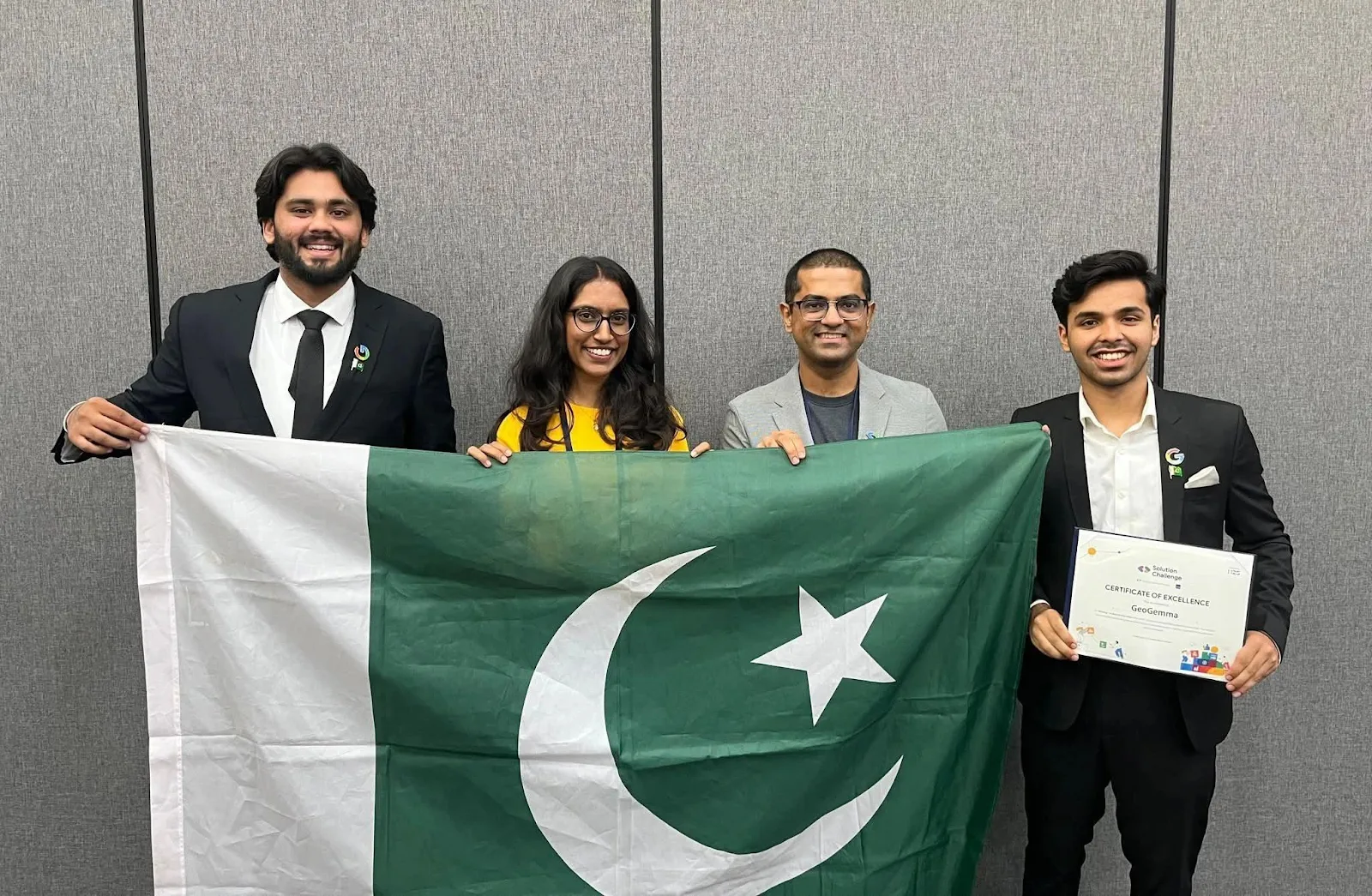
In a proud moment for Pakistan’s academic and tech community, Pakistani students from Islamabad’s Institute of Space Technology (IST) developed GeoGemma, a groundbreaking satellite imagery analysis tool that has won the prestigious ‘Best AI Use Case’ award at the Asia-Pacific (APAC) Solution Challenge 2024, hosted by Google and the Asian Development Bank in Manila.
Originally created by Pakistani students Ahmed Iqbal and Hanzila Bin Younus as their final-year project, GeoGemma integrates a Large Language Model (LLM) with Google Earth Engine, allowing users to analyze satellite imagery using plain natural language — no advanced coding skills required.
Pakistani Students Transform a Simple Idea into World-Class Innovation
The vision behind GeoGemma was described as an effort to democratize satellite data analysis. It was explained that the aim was to make the tool accessible to anyone researchers, students, and professionals regardless of their programming expertise. With over 80 petabytes of satellite data stored on Google Earth Engine, the key challenge was to eliminate the technical barriers to access and analysis something GeoGemma successfully addresses.
A major breakthrough was achieved when a $10,000 research grant was secured through the Gemma Academic Programme, an initiative by Google DeepMind, the AI subsidiary of Alphabet. With support from their supervisor, Dr. Sajid Ghaffar, this funding allowed the team to develop and refine the tool over the course of the year.
GeoGemma: A Powerful AI Tool Built by Pakistani Students
By September 2024, the team expanded to include Abdullah Asif (Front-end Web Developer) and Khaleelullah (Tech Lead and AI Engineer), both computer science undergraduates at IST. Together, they created a lightweight model under 2GB that can run on any standard laptop making powerful satellite data analysis tools more accessible, affordable, and practical.
GeoGemma stood out among 750 projects submitted by students from over 200 universities across the Asia-Pacific region. Another team from Pakistan, representing FAST University, also made it to the top 10 for their Gemini-powered document editor designed for neurodivergent users.
Real-World Applications Across Industries
GeoGemma’s potential extends beyond academia. Its creators believe it could become a game-changer across industries such as:
- Oil and Gas Exploration
- Climate and Environmental Monitoring
- Urban Planning and Real Estate
- Supply Chain and Logistics
By simplifying satellite imagery analysis, the tool could support businesses in tracking deforestation, monitoring urban heat islands, or even managing agricultural yields.
“We now have credibility and recognition, but the journey is just beginning,” said Iqbal. “Our next step is to build custom modules for different industries, turning GeoGemma into a suite of proprietary tools.”
What’s Next?
The team plans to release the public version of GeoGemma by the end of this year. With its lightweight architecture and easy-to-use interface, it promises to lower entry barriers to geospatial technology, an area traditionally dominated by high-end software and deep technical knowledge.
GeoGemma, developed by students from IST Islamabad, simplifies satellite data analysis using AI and natural language prompts no coding needed. This tool is set to transform industries and put Pakistan on the global tech map.